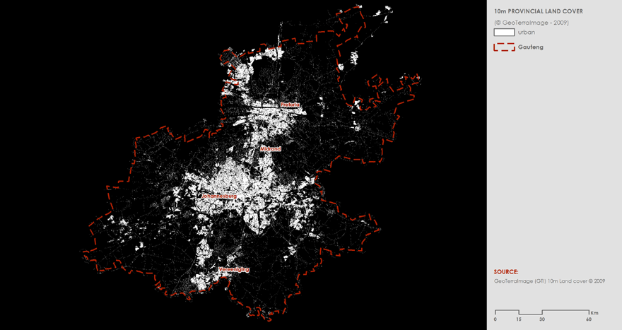
According to the GeoTerraImage (GTI) 2009 land cover dataset, urban land cover constitutes 15% of the total land coverage in Gauteng. Note: land cover quantities depend on the resolution of the imagery used to derive the land cover. The GTI 2009 land cover was generated at a 10m resolution from a combination of SPOT 5 satellite imagery and digital aerial photography.
The urban land cover class is defined by GTI as: “All built-up areas, including all aspects of residential, commercial, industrial, mining and transportation infrastructure, in both urban and rural environments. Represents primarily a non-vegetated, artificially sealed surface, except for vegetated gardens not otherwise identified as urban-trees or urban-grasslands. Also includes all major road and rail networks, recently cleared, non-vegetated areas being prepared for urban development, and rural farm infrastructure (including greenhouses, propagation tunnels and chicken/pig batteries).”


